Triage the site before the bore plan
Your lab queue is the bottleneck — not your judgment. Preliminary photo readouts help you prioritize which zones genuinely need deep sampling and which can wait, so field time goes where the risk actually is.
Upload a soil photo and receive a rapid AI-powered preliminary assessment — soil-type and visible-condition indicators to guide bids, excavation planning, and early project decisions, before you commit to lab analysis.

Sample readout — preliminary indicators, not lab-certified values
SoilSense was shaped by 8 years running excavation crews and 10 more in construction. It exists because the first question on every job — what are we digging into? — deserved a faster first answer.

Your lab queue is the bottleneck — not your judgment. Preliminary photo readouts help you prioritize which zones genuinely need deep sampling and which can wait, so field time goes where the risk actually is.
One surprise layer of expansive clay can erase a job's margin. Get a rapid visual read on likely soil behavior before you price the work, and document changing conditions as you dig to grade.
Weeks of waiting for certified results slow equipment selection, shoring decisions, and scheduling. A preliminary assessment gives your team a shared, faster starting point while the formal report is in progress.
We combined 8 years of excavation and 10 years of construction experience with visual AI to take the guesswork out of the first dig — while staying honest about what a photo can and can't tell you.
Mobilize with data. Identify potentially expansive clays or high-moisture zones from site photos before you send the first excavator — and price the risk into the bid instead of absorbing it.
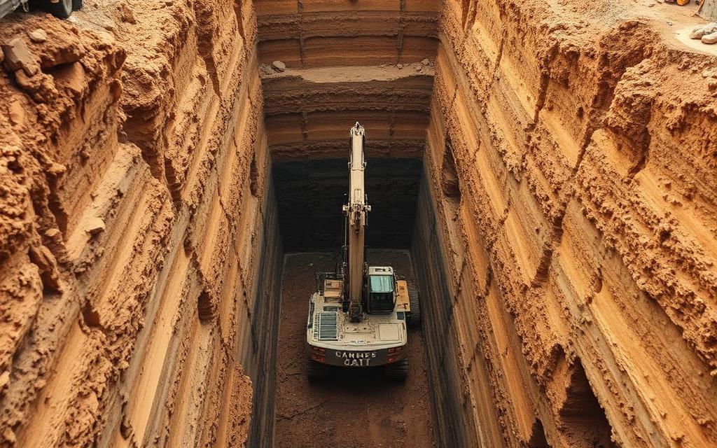
Ground conditions change as you dig. Document daily visual shifts in soil horizons during bulk excavation and build a time-stamped record that supports RFIs and change orders.
Bridge the gap between first site walk and certified lab report. Preliminary readouts inform early equipment selection and shoring assumptions during pre-con — clearly labeled as estimates.
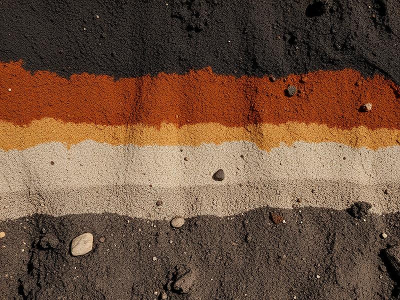
Capture a high-resolution photo of the soil profile, cut face, or sample core — straight from the field on any device.
Visual models cross-reference your photo against thousands of geo-surveyed samples and return estimated soil-type and condition indicators in minutes.
Use the readout to rank lab-testing priorities, adjust the bid, or confirm excavation methodology — with the limits of the estimate made explicit.
"It doesn't replace my lab, and it doesn't pretend to. But it tells me which zones need testing today. That triage alone saved us four days on the I-95 bypass bid."
"A field-ready tool for the crew in the ditch. We use it to verify ground-condition changes as we dig to grade — the photo log paid for itself on our first change order."
"Best pre-con investment we made this year. It gives my planners a defensible starting point while we wait on certified results, and everyone reads the same report."
Every plan starts with a 14-day free trial. Run SoilSense on your next active site before you pay a dollar.
All assessments are preliminary visual estimates — not a substitute for certified laboratory testing.
Our models are tuned to strongly correlate with laboratory-graded classifications on primary soil type and visible condition. But a photo can't measure shear strength, compaction, or chemistry — so we label every output a preliminary indicator. It's built to focus your judgment and your lab budget, not to substitute for either.
No — and any tool that claims otherwise is one you shouldn't trust with a foundation. Certified lab testing and professional geotechnical reports remain required for regulatory compliance and final design. SoilSense accelerates the early-stage assessment that happens before and alongside that work.
You shouldn't trust it blindly — you should use it like a sharp junior engineer who never sleeps. Human visual classification varies from super to super; SoilSense gives every project the same standardized baseline read. Your experience still makes the call. The AI just makes sure you make it with more information, earlier.
A large proprietary dataset of georeferenced soil profiles and core samples, each paired with professional lab classifications and spanning diverse North American and international strata. Geographic and soil-type diversity matter — a model trained only on one region's clay would be worse than useless on yours.
Speed of mobilization. Preliminary-ranking your soil zones on Monday means adjusting your equipment fleet by Tuesday — instead of waiting until the following week. Most teams use SoilSense to point their geotech partners at the highest-risk locations first, which makes the lab work you already pay for go further.